


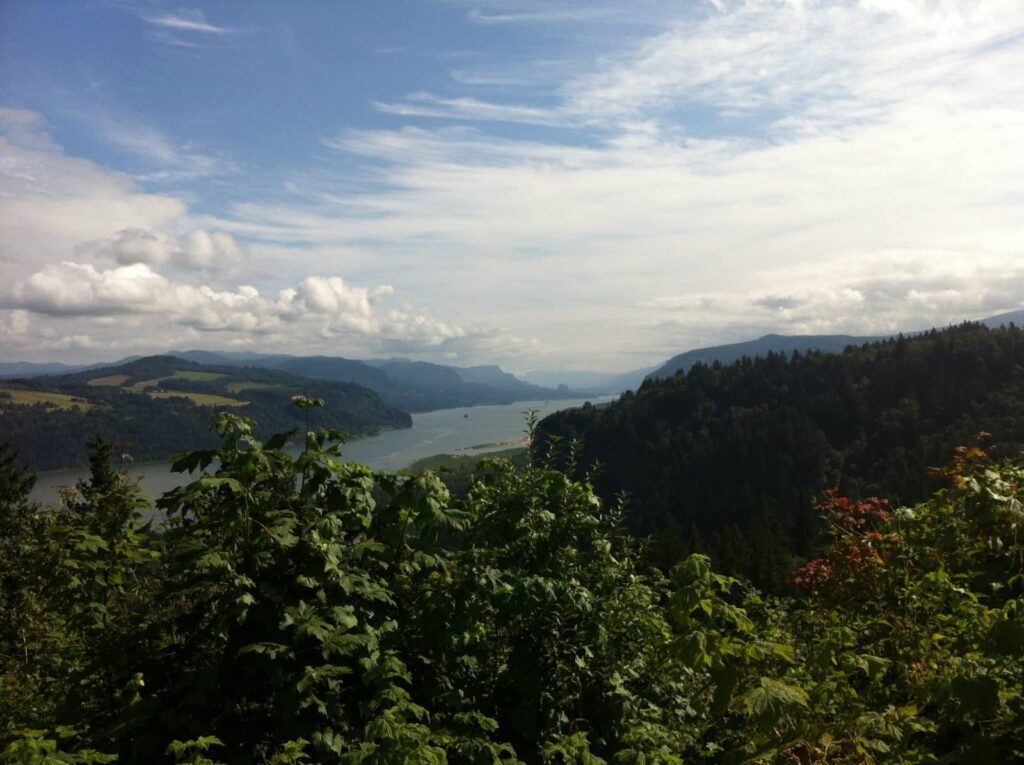
It is a bit of a cliché, but the Sunshine Coast really is British Columbia’s best-kept secret, stretching along 112 mile (180km) of land from Langdale to Lund with many quaint, tiny coastal communities in between and of course sun. Located just north of Vancouver, the majestic old growth forests and mountain and ocean vistas provide a stunning backdrop to explore. We are always on the look out for new exciting places to explore and the Sunshine Coast fits that bill in spades.
The hiking is a grand mix of mountain ascents, lakefronts, and breath taking ocean views. During our week on the Sunshine Coast we will cover the peninsula from top to bottom, from the summit of Mt Elphinstone to the world famous Skookumchuck rapid where the tide current speed can exceed 18 miles per hour. The Suncoaster trail is a 23 mile (37 km) trail that bisects Sunshine Coast, and we will explore much of it during the adventure.
Add to all this few crowds and comfortable accommodations and we have a winner. We will assemble in Vancouver and, after a short ferry ride to Langdale, we are off and running for our week on the Sunshine coast.
Gambier Island is the largest of four islands located in Howe Sound, British Columbia, Canada (not to be confused with the 14 small Gambier Islands, located 995 miles (1600 km) southeast of Tahiti). The BC island is approximately 25 square miles with only 125 permanent residents, primarily located in New Brighton, Gambier Harbour and West Bay – the number swells to more than 600 in the summer. BC Ferries provides passenger service between Langdale and New Brighton and there are gravel roads connecting the three communities. There is no car-ferry access – something most residents want to preserve.